California chapter meeting on Sat 7/7

Summer 2012 California Chapter Meeting
Saturday, July 7, 2012
12:00 noon–3:00 pm

Judy’s Place
1207 Pomona St
Crockett, CA 94525
(510) 787-7768
Google Map

Directions

  • From I-80, take Exit 27 – Crockett.
  • At the end of the exit ramp, turn left.
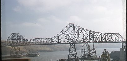
  • Go under the Carquinez Bridge for ½ mile. Judy’s Place is on right.
  • Parking is available along Pomona Street and nearby streets.

Judy’s Place will be closed to the general public during the meeting.

Lunch menu

  • Beef/Chicken Plates: Chile Verde, Fajita Plate, Bistec Ranchero or Chile Relleno
  • Vegetarian Plate: Quesadilla Plate stuffed with Cheese & Veggies

Meeting agenda

  • coach tour and cruise
  • officers’ & committee reports
  • online mapping
  • LH signs
  • LH 2012 National Conference report
  • LH 2013 Centennial Tour

Speaker

  • Lincoln Highway PowerPoint presentation by Paul Gilger

Post-meeting tour

  • Stroll across the Carquinez Bridge


Clarksville Day in California on Sat 5/5

The Clarksville Region Historical Society is holding its sixth annual Clarksville Day this Saturday, May 5, in Clarksville, a ghost town along the Lincoln Highway near El Dorado Hills, California. The Lincoln Highway Association will have an exhibit at the event.

LHA California chapter meeting today

Spring 2012 California Chapter Meeting
Saturday, April 7, 2012
12:00 noon

Vince’s Ristorante
840 Harbor Boulevard
West Sacramento, CA 95691
(916) 371-6395

There will be a tour of Lincoln Highway auto courts along West Capitol Avenue, West Sacramento Historical Society, 1925 Sacramento Northern railroad underpass, Tower Court with a Lincoln Highway concrete marker, and Tule Jake Road.

El Cerrito, CA historical society on the Lincoln Highway

This month’s newsletter from the El Cerrito (Calif.) Historical Society has a photo of San Pablo Avenue before it was the Lincoln Highway and covers the effort to get Lincoln Highway signs posted through the city.

  • Sparks from the Anvil, El Cerrito Historical Society, re-published by the El Cerrito (Calif.) Patch, March 12, 2012

California’s Lincoln Highway in Hamilton’s Road Maps

Steve Haughey has uploaded maps of what would become the Lincoln Highway in California from the 1914 Hamilton’s Illustrated Auto Road Map, which you can think of as a combination of AAA TripTik strip maps and Google Street View. You can also buy large-format prints of the maps through Zazzle.

Lincoln Highway through El Cerrito, CA

Rich Bartke, president of the El Cerrito Historical Society, writes about the Lincoln Highway and its route through El Cerrito, California, north of Oakland. The road has a long history, known as El Camino Real during the Spanish colonial period.