Soon it will be time to hit the road for some camping adventures. Now you can find out where the best campgrounds are using our Lincoln Highway interactive map.
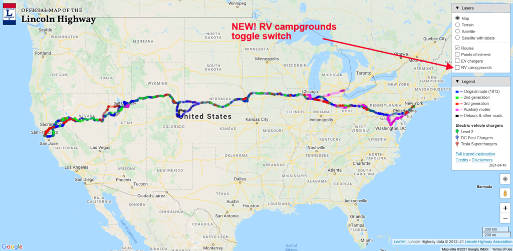
You can see the new “RV campgrounds” button that you “click” to bring up the campground icons in the map below.

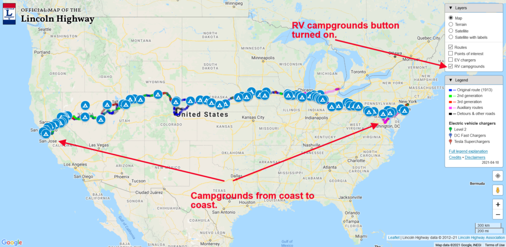
Once the button is clicked, the RV campground icons will show across the country. This is a work in progress, so as we discover more quality campsites, we can add them to the map. Check out the map below to see what clicking the button does.

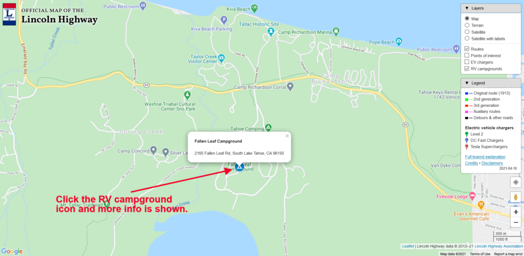
The default view for the map shows the entire country. To see more detail, zoom in using the “+” button at the lower right. You can continue to zoom in until the street names become visible, as seen in the screengrab below. Here we see the Fallen Leaf Campground just south of Lake Tahoe, California.

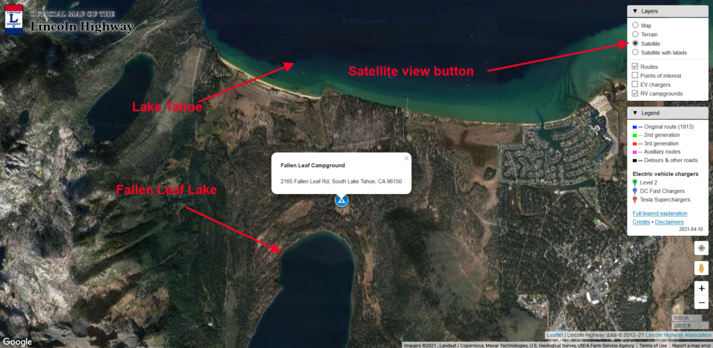
Don’t forget that you can also toggle the map to a satellite view by clicking the “satellite” button, shown with the map below and the red arrow. Pretty cool!

Now that our cartographer Paul Gilger has added the RV Campgrounds to our expanding list of features, we will be presenting a “how to use our map” tutorial shortly. We’ll let you know here when it’s available for viewing.
Start planning that Lincoln Highway camping adventure today!

This is a great help