
Pictorial tour
Browse through a selection of historic sites and points of interest along the Lincoln Highway in Nevada. Each photo has a number that represents the location in the map below.
These photos were originally presented as part of a panel display by the Nevada chapter at the 2017 Lincoln Highway Conference.

Map of the Lincoln Highway in Nevada, with numbered locations for the photos below


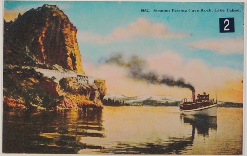
Lake Tahoe · c. 1918
Lincoln Highway along the Nevada shore of Lake TahoePostcard courtesy of Brian Suen


Erected for the 1927 Nevada Transcontinental Highway Exposition, which commemorated the completion of the Lincoln and Victory Highways
Brian Suen Collection

Reno
Mural on commercial building at East 4th Street (old U.S. 40) and Spokane StreetPhoto by Brian Suen


Once a Pony Express stop, supplier to early settlers, and home to the Buckland family until 1885
Photo by Nevada State Parks

Guarded the Pony Express Trail and early settlers from 1861 to 1869.
Photo by Nevada State Parks


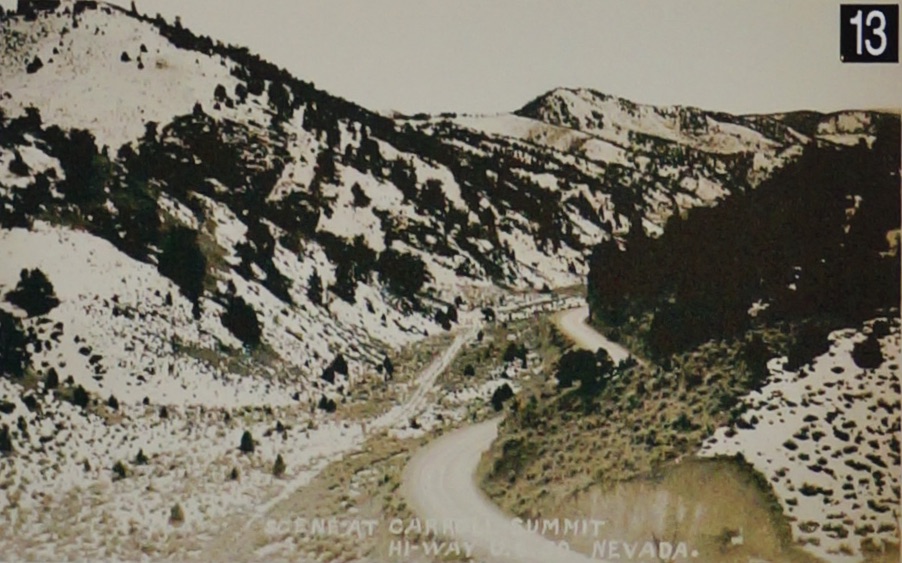
Carroll Summit
U.S. 50 (Lincoln Highway) is the gravel road in the bottom centerUniversity of Michigan Special Collections


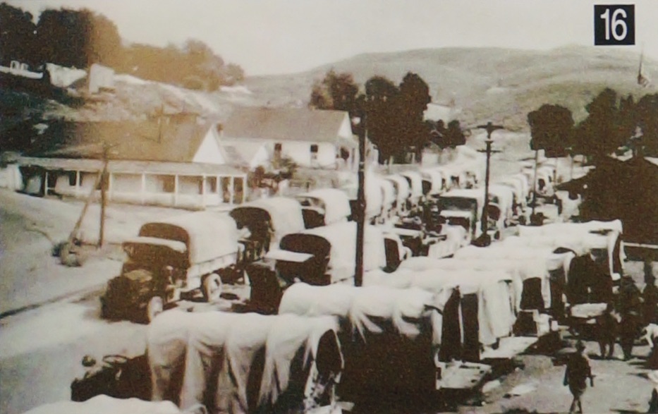
Austin
1919 Military Convoy stopping in Austin, the geographic center of NevadaPhoto courtesy of Elizabeth Rassiga and Warren White


Ely
Nevada Northern Railway’s Locomotive #40 (1910) and the East Ely DepotPhoto by Nevada Northern Railway Museum

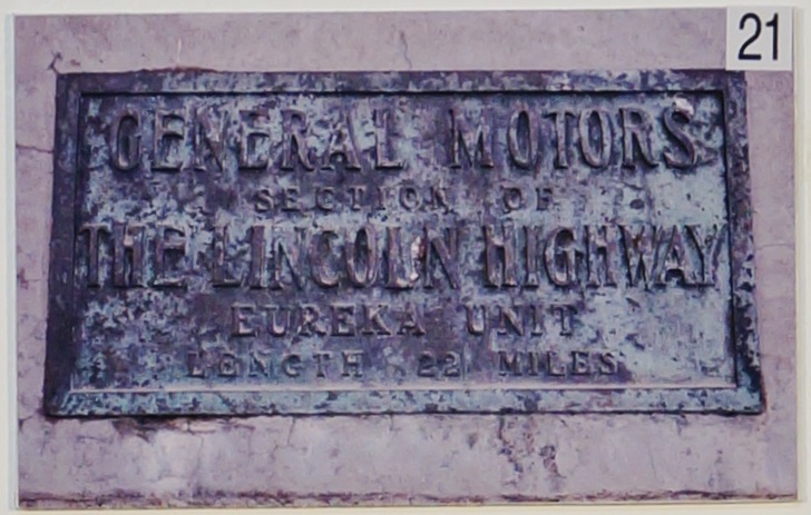
Eureka
General Motors Section of the Lincoln HighwayEureka Unit · Length 22 Miles
Photo by Brian Suen

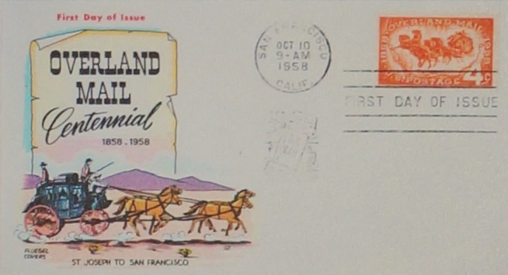
First day cover from Brian Suen
